bathrooms bedrooms email garage sqft stories

Available Homes in Harrington Trails

New homes priced from the mid $200s to low $300s


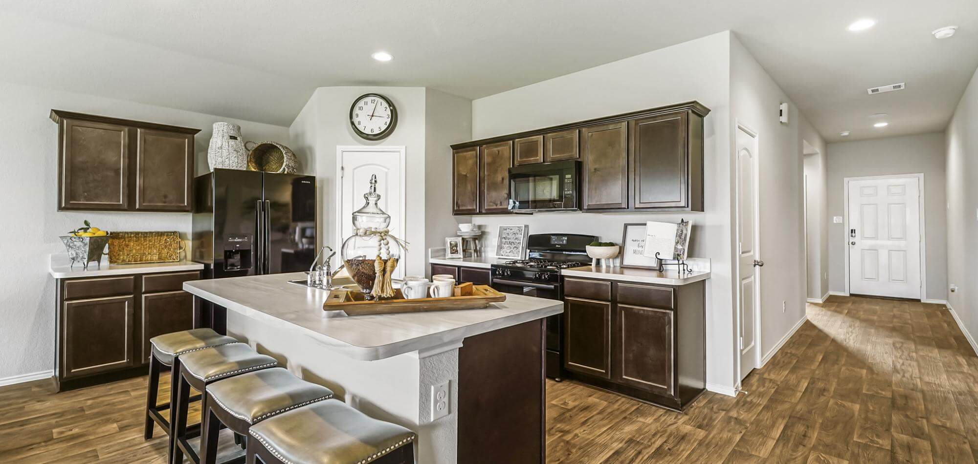
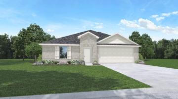
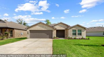
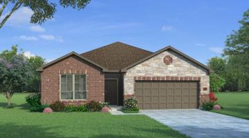
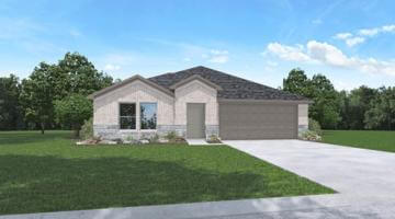
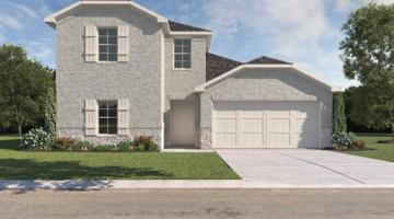
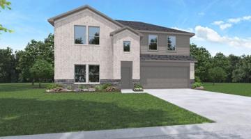
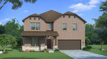
Prices starting from the mid $200s, HistoryMaker, Starlight, and D.R. Horton offers one-and-two-story homes ranging in size from 1412 square feet to 2817 square feet in Harrington Trails.

Discover your best fit within Harrington Trails. Ready to move? Simply fill out this request form and we'll be in touch to help.

Request Information

Accept
By selecting yes you consent to receive emais from Harrington Trails. You may opt out at anytime.


Filter

Sort

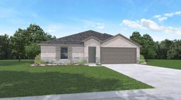
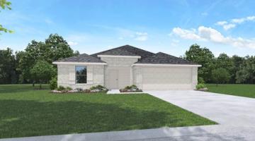
14752 Peaceful Way

Builder
Starlight Homes
50' Section
Square Footage
1,206
3
2
1
2

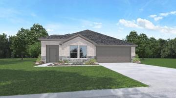
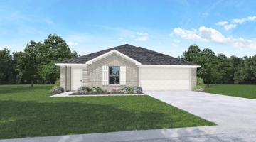
14747 Peaceful Way

Builder
Starlight Homes
50' Section
Square Footage
1,636
3
2
1
2

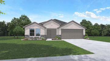
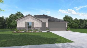
14719 Peaceful Way

Builder
Starlight Homes
50' Section
Square Footage
1,769
3
2
1
2

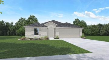
14743 Peaceful Way

Builder
Starlight Homes
50' Section
Square Footage
1,721
4
2
1
2

14744 Peaceful Way

Builder
Starlight Homes
50' Section
Square Footage
1,827
4
2
1
2

21584 Rolling Streams Drive

Builder
Starlight Homes
50' Section
Square Footage
2,717
4
2
2
2

21588 Rolling Streams Drive

Builder
Starlight Homes
50' Section
Square Footage
2,722
5
3
2
2

Visit Today

Harrington Trails is located in the northeast part of Houston in Splendora, Texas. From Downtown Houston, you can take IH 45 or Hwy 59/69 to get to Harrington Trails.

Hwy 59/69 Route – Drive north on Hwy 59/69 for approximately 32 miles; 4 miles north of the Grand Parkway. Take the Hwy 242 exit onto the access road and stay in the left lane. At the red light, turn left onto Hwy 242 and travel 4 miles to Harrington Trails, which will be on your right. You will see the grand monument at the entrance.

IH-45 Route – Drive north on IH-45 approximately 36 miles to The Woodlands. Take Hwy 242, which is the next exit past Research Forest. Stay on the access road in the right lane. At the red light, turn right onto Hwy 242 and head east for 17 miles. Harrington Trails will be on your left. You will see the grand monument at the entrance.

Get Directions

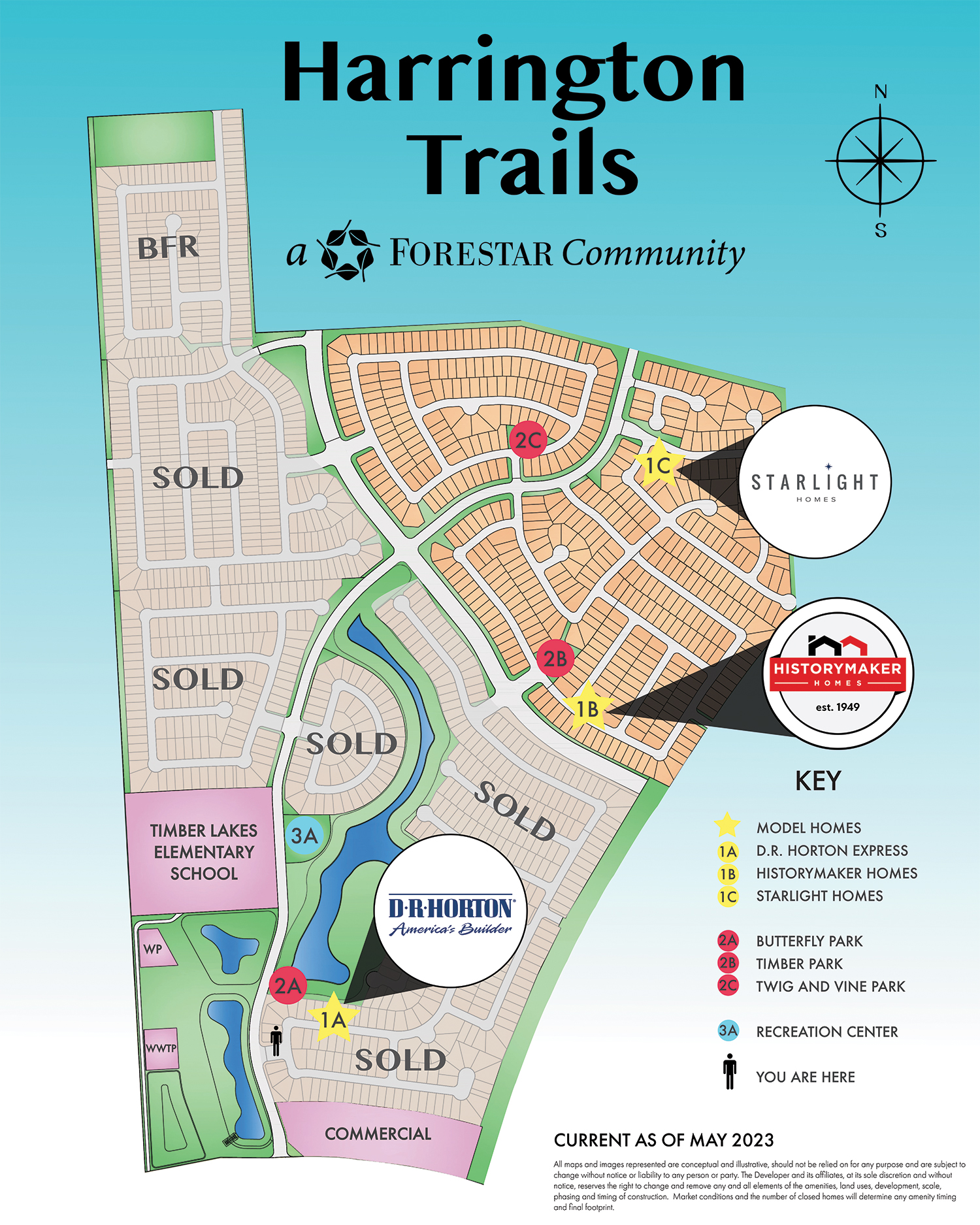
Harrington Trails Master Plan

land plan

Site plans and community maps are conceptual in nature and are merely an artists rendition. These maps are solely for illustrative purposes and should never be relied upon. The past, present future or proposed roads, easements, land uses, conditions, play maps, lot sizes or layouts, zoning, utilities, drainage, land conditions, or development of any type whatsoever, whether reflected on the site plan or map, or whether outside the boundaries of the site plan or map, may not be shown or may be incomplete or inaccurate. The present, future or proposed roads, easements, land uses, conditions, plat maps, lot sizes or layouts, zoning, drainage, land conditions, or development of any type may or may not change in the future. It is not uncommon that any of the foregoing can change without notice to you. You should never rely on the accuracy of this map in making any decisions relative to purchasing any property. We reserve the right to make any changes at any time without notice.